 napo
24 de abril de 2024
napo
24 de abril de 2024
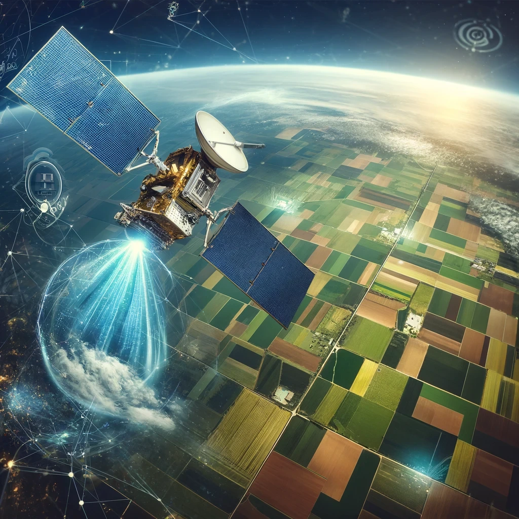
🌎Observing Earth through satellites and other technological tools allows us to capture images and data that show how our planet is changing.
✨Numerous initiatives by governmental space agencies make these crucial resources available.✨
The European Space Agency's program, Copernicus, provides environmental monitoring data and services through a series of satellites named Sentinel. These satellites offer high-resolution images and frequent updates on various aspects of the planet. Copernicus data are open and, therefore, accessible to researchers, developers, and policymakers, facilitating a wide range of applications from natural resource management to urban planning and emergency response.
This is also true for NASA's offerings. Private companies like Planet Labs and Maxar Technologies also make some of their data and images available for the public good ("data for good").
Satellite technology allows us to see what happens in remote or inaccessible locations. It provides essential data to monitor climate change, predict weather phenomena, manage natural resources, etc. Using satellites equipped with advanced sensors, we can gather vast amounts of information, from sea surface temperatures to agricultural crop conditions to mapping deforestation.
Over the years, the availability of data collected daily by these tools has grown exponentially, as has their accessibility, presenting a treasure trove of information that anyone can use to improve the world. Thus, satellite technology for Earth observation is a potent tool, providing an unprecedented view of our planet. Thanks to it, we can see the world from a new perspective and protect it more effectively🌳🤸
Observing Earth from space involves using advanced technologies, mainly based on satellites, genuinely technological marvels in orbit. Each satellite has various sensors and instruments that can capture and transmit data through images and detailed measurements of various terrestrial phenomena.
✅ Geostationary satellites: Maintain a fixed position relative to the Earth's surface, ideal for weather monitoring and communications. An example is the GOES system operated by NOAA (National Oceanic and Atmospheric Administration), which provides data that is free and accessible to the public.
✅ Polar orbit satellites: Pass over or near the Earth's poles, covering the planet's entire surface in several orbits, as with those from the Copernicus project.
✅ Optical sensors and cameras are commonly used to capture images of the Earth's surface. The Landsat satellites, a joint initiative between NASA and the USGS, provide high-resolution images useful for natural resource management and environmental research.
✅ Synthetic aperture radar (SAR) creates detailed images of the Earth's surface. The Copernicus program uses SAR data to support disaster relief operations and monitor environmental changes.
✅ Infrared and thermal sensors are essential for monitoring surface temperatures and plant health. Satellites like MODIS on NASA platforms offer free data necessary for studying phenomena such as global warming and wildfires.
The collected data are sent to ground stations, where they are processed and made available. Open access to these data allows for various scientific, educational, and development applications. Once received, the data are processed to correct errors, calibrate measurements, and prepare them for analysis. Educational and research institutions use these data for climate models, natural resource management, etc.
Earth observation through satellites has a direct and tangible impact on everyday life👇
👨🏻🌾 In agriculture, for example, satellite data help farmers monitor crop health and soil moisture, optimizing water and fertilizer use. This not only improves agricultural yields but also contributes to environmental sustainability.
📢 In emergency management, satellite images are essential for monitoring the progression of natural events such as hurricanes and floods, allowing for timely evacuations and more efficient rescues. Moreover, satellite data plays a crucial role in environmental conservation, providing valuable details about the conditions of forests, oceans, and global biodiversity.
Additionally, updated images are then used by the OpenStreetMap community to update data for areas affected by these tragedies, allowing humanitarian aid to intervene promptly with maps updated instantly.
🥇Various success stories illustrate how Earth observation has been decisive: an example is monitoring areas affected by drought in Africa, where satellite data have enabled the implementation of more effective irrigation systems, improving the lives of local communities. Another case is using satellite images in the rapid response to fires in Australia, allowing more targeted interventions and limiting damage.
The increasing accessibility of satellite data opens many opportunities and, at the same time, also requires the development of specific skills:
📌 Basic Skills (easy to acquire):
📌 Advanced Skills (more complex):
✨These skills enable anyone to contribute to local or global initiatives, start new businesses, or develop innovative solutions. The democratization of access to satellite data makes learning these skills increasingly accessible, inviting a wider audience, from the curious to activists to entrepreneurs, to participate actively in our planet's stewardship.✨
As we progress into the 21st century, Earth observation plays an increasingly central role in shaping our responses to global changes and supporting sustainable development.
🔥These powerful tools, once the exclusive domain of government agencies and large corporations, are now more accessible than ever, allowing anyone to explore and interact with our planet's data in previously unimaginable ways.🔥
Through the Copernicus program, Europe has demonstrated the importance of treating Earth observation data as digital common goods freely accessible to all. This commitment to open access helps ensure that the value of these data can be maximized for the common good, promoting transparency, innovation, and collaboration on a global scale.
The importance of this technology cannot be overstated:
Therefore, the invitation is to consider using these technologies to improve your life, community, and, ultimately, the world. Hence, initiatives must be created where the public and private sectors come together.
With increased access to data and the continuous improvement of technologies, the future we can see and build together is full of promise and possibilities. We all have the means and abilities to seize the learning opportunities to acquire the skills needed to interpret and use this significant data.
Earth observation is an essential means of understanding our world; it is a significant digital common good that we must be aware of.
🔔Do you want to learn more about Open Data and its possibilities?🔔
Discover how this dynamic ecosystem generates tangible benefits for society and businesses by catalysing innovation in both the private sector and public infrastructure due to its collaborative nature of providing a common good (open data).
👉 Enjoy this NGI Talk (webinar) for free by clicking here.